Phoenix Metro Area Airports
Sky Harbor International Airport (PHX)
Click the map to go to Google Maps satellite view of this airport
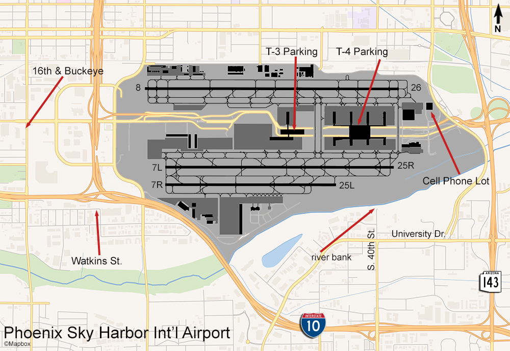
The main airport serving the city of Phoenix is really great place to watch and photograph aircraft. The layout is similar to Minneapolis except that here, the parking is actually above the terminal whereas at MSP, the parking garage is free-standing in the center of the complex between the terminal concourses. Here, you get a great view of activity on both north and south runways. There are 2 terminals with garages – T3, and T4 – and another smaller two story garage that used to be for the old Terminal 2. The roof level is employee parking but you can park on the ground floor and walk upstairs for a view of aircraft touching down on runway 8. The other two garages offer better views.
T4 handles American & international flights on the north side and Southwest Airlines on the south side. It is also the highest garage, with the rooftop level about 9 floors up giving a great view of the ramp & gate areas and north and south runways. T3 is a shorter garage but still offers the same great view. This terminal handles other airlines such as United, Alaska, and Hawaiian on the north side and Delta, Frontier, and Spirit on the south side. From the east end of T3 (and west end of T4) you’ll get a great view of the taxiway bridge which is where aircraft cross from the north side to the south side. Each of these garages are popular with locals who like to watch planes, safe, well-lit, and the airport security is friendly. As far as photography, since the runways are east-west you will have good light for photographing anything on the north side all year but the south side is usually backlit. Not to despair, there is another great spot for catching south side action.
Adjacent to the south side of the Phoenix airport there is a river and on the south bank there is a spot with a perfect view of traffic departing or landing on the south runways. This spot is actually a sort of rest area along the Rio Salado Pathway, a paved running & biking route that runs for several miles along the Salt River from Mesa to downtown Phoenix. The city built walkways to make it handicap and bicyclist accessible and benches with a cover to protect from the sun. To get here, take 143 south to University, then go west to S. 40th St. Make a right here and go to the end where there will be a cul-de-sac where you can park. I met several plane watchers and a couple of photographers here. The light here would be good for photographing south runway activity at any time of the year.
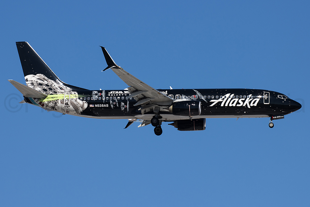
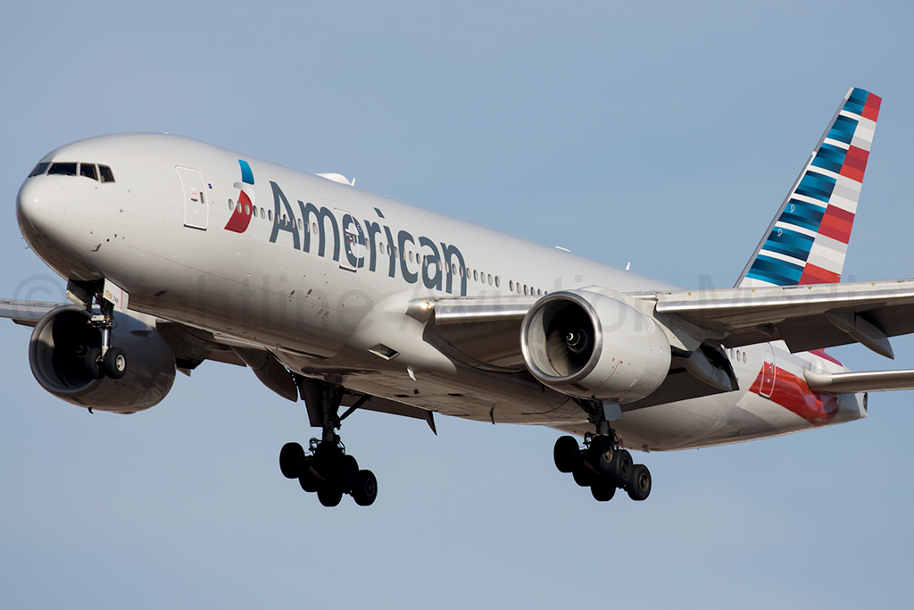
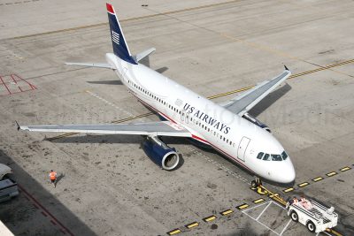
A good spot for photographing approaches to runway 26 is the east cell phone lot. Just follow the signs from the airport terminal road (Sky Harbor Blvd.). See below for examples of photos taken from the east cell phone lot.
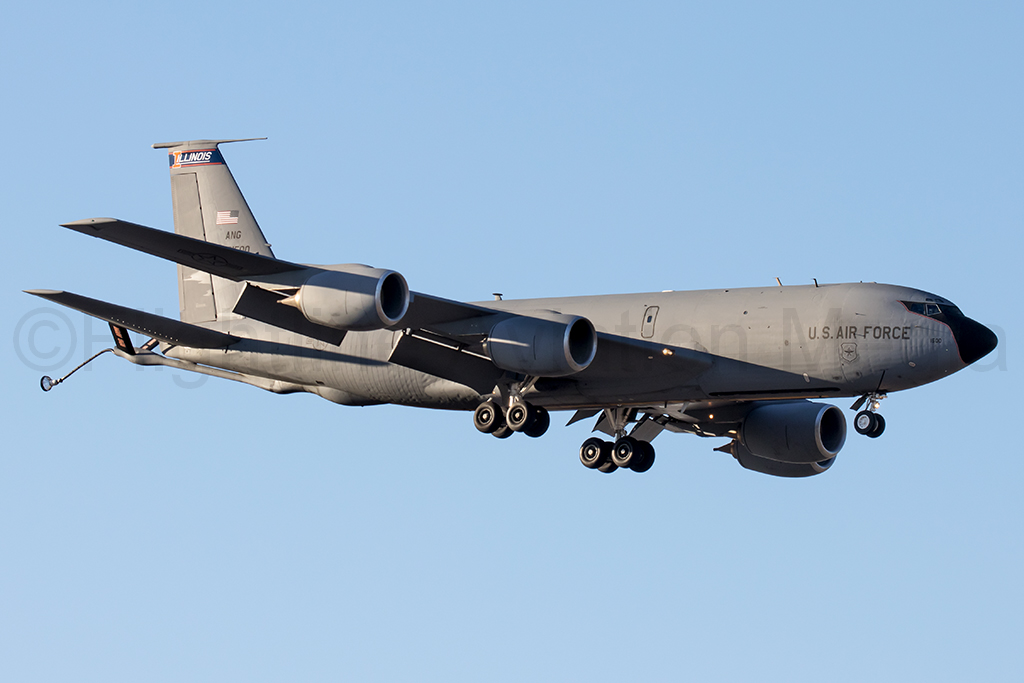
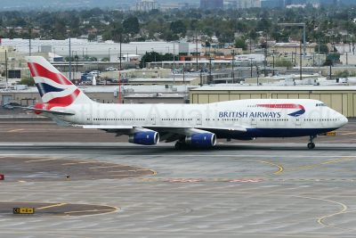
The variety of aircraft here is not too good – it is mostly Airbus A320 and Boeing 737s. There are few foreign airlines serving Phoenix, including British Airways, Air Canada, Westjet, Aeromexico, Volaris, and recently Air France. There is an Arizona Air National Guard base on the south side which operates KC135s and other military jets have been known to drop in from time to time. Cargo activity is pretty much just FedEx and UPS with fewer sightings of ATI and DHL. UPS has been known to operate the 747 here during the Christmas shipping season.
There are a couple of off-airport spots where you can photograph aircraft on approach to the north or south runways from the west. One is a parking lot on Watkins St. which is in an industrial area. To get here take 24th St. south under the freeway to E. University and go right. Make another right on S. 21st St. and go to the end where it turns to the left to become Watkins and the parking lot is right there.
To see planes approaching runway 8, take Buckeye Rd. from the terminal road (Sky Harbor Blvd.) west to 16th st. and make a left. Immediately on your right, behind the Burger King at the corner, you will see a shopping strip parking lot. Position yourself to face north in this lot and the planes will fly past you close enough to photograph with 400mm or less. To give you an idea of the distance, the actual centerline of the runway approach is about 1,400 feet north of this intersection. This spot will give you a good side view – see my photo album linked below.
These four spots give you pretty much any angle you would need to photograph any aircraft activity at PHX. One thing to keep in mind is that the primary runway is 25L for landing and 25R for departure. They tend to start out on the other side every morning but switch to a west flow in the afternoons. Runway 8/26 on the north side is mostly used for landings. The heavy airliners such as British Airways almost always take off on this runway and other takeoffs are only if a pilot needs the extra length for performance. Almost everything uses the south runways including all of the FedEx and UPS aircraft.
There are other smaller airports in the Phoenix area too including Scottsdale, which is mostly business jets and has at least one nice viewing area, Falcon Field in Mesa, which has a Commemorative Air Force museum, and Gateway Airport in Mesa.
Scottsdale Airport (SDL)
Click the map to go to Google Maps satellite view of this airport
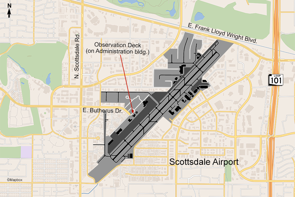
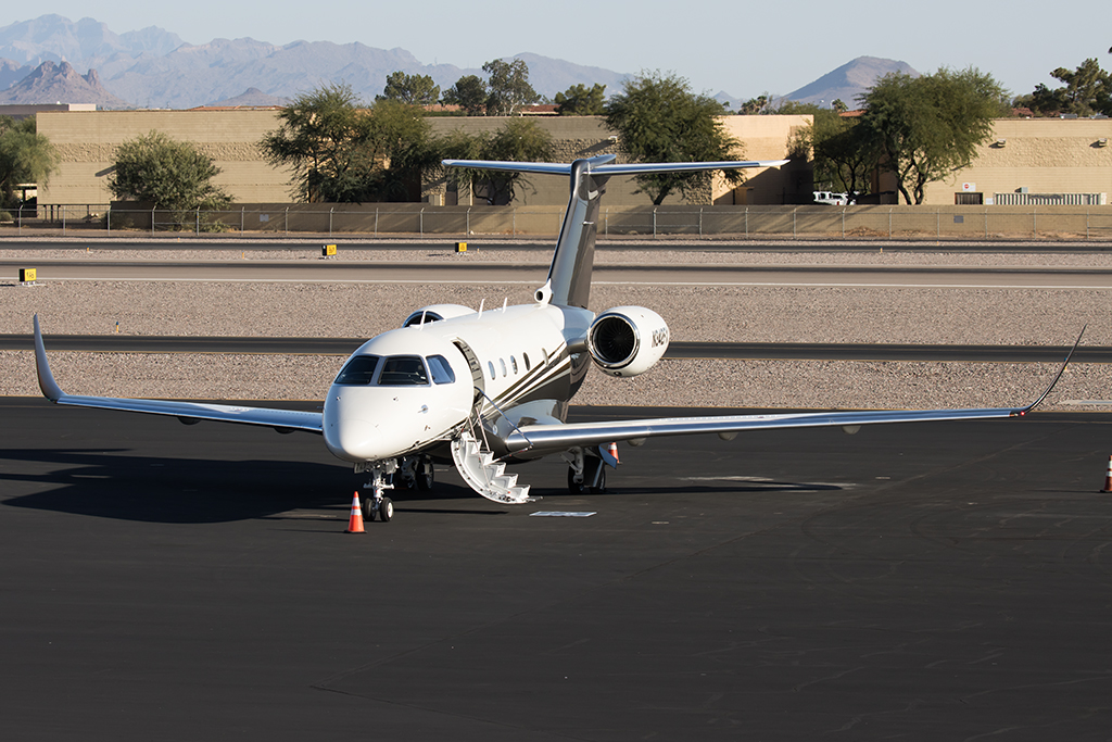
Another excellent place to visit for planespotting in the Phoenix metro area is the Scottsdale Airport. This small airport is a 20 minute drive north from Sky Harbor Airport and is the main business aviation airport for this area. The administration building has an excellent outdoor viewing deck on the 2nd floor that is very close to the action. It is located at the end of Butherus Drive and there’s free parking. The stairs to the Observation Deck are outside on the north side of the building. The Observation Deck is actually shared space with the Volanti Restaurant on the 2nd floor. The restaurant has both indoor and outdoor seating and the Observation Deck is on the north half of this space, but you don’t need to be a patron of the restaurant to walk up and hang out there. Restaurant patrons enter from inside the building. The Observation Deck space has tables and chairs as well, the same ones that the restaurant uses. At times especially during special events they will close off the Observation Deck to use the space for more tables like they did during Super Bowl week, but most days its open. From here you will have an unobstructed view of part of the ramp and the runway so both takeoffs and landings are visible. The FBOs at this airport are located in different areas so not all traffic will taxi past this spot but they’ll all be using the same runway. The ramp area directly in front of the Observation Deck is used for aircraft coming from other countries and customs agents will greet them here. Some aircraft park here to deplane and then the planes are towed to a parking spot further away.
There is another spot just off Redfield Rd. at the very south end of the runway (see Google map for this spot) where you can pull up to an airport gate if you wanted to photograph a plane landing on runway 3, but I really think that the Observation Deck gives you the best view. Photography on the deck is only good in the afternoon as you’ll be facing southeast. The kind of traffic you will see here is mostly business jets of all types and coming from both Canada and Mexico along with piston trainer aircraft as there are a couple flight schools on the airport and students are flying nearly every day. Once in a while you will see a military jet stop in to get fuel but that is rare. I was lucky enough to capture a pair of F/A-18 Hornets once! Follow the link below for pictures from the Observation Deck.
Mesa Gateway Airport (IWA)
Click the map to go to Google Maps satellite view of this airport
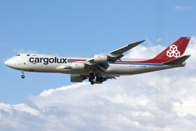
The other airport in the Phoenix area that has some good planespotting opportunities is the Mesa Gateway Airport, located 30 miles southeast of Sky Harbor just off the Loop 202 freeway. This airport handles some general aviation and flight training like Scottsdale but also has commercial airline service with Allegiant Air. In addition there is more transient military traffic here and a growing air freight business. In 2023 logistics company DSV leased a large hangar to begin cargo flights using Cargolux and Atlas Boeing 747s from Europe and Asia to support Arizona’s growing semiconductor and EV industries more efficiently than using LAX.
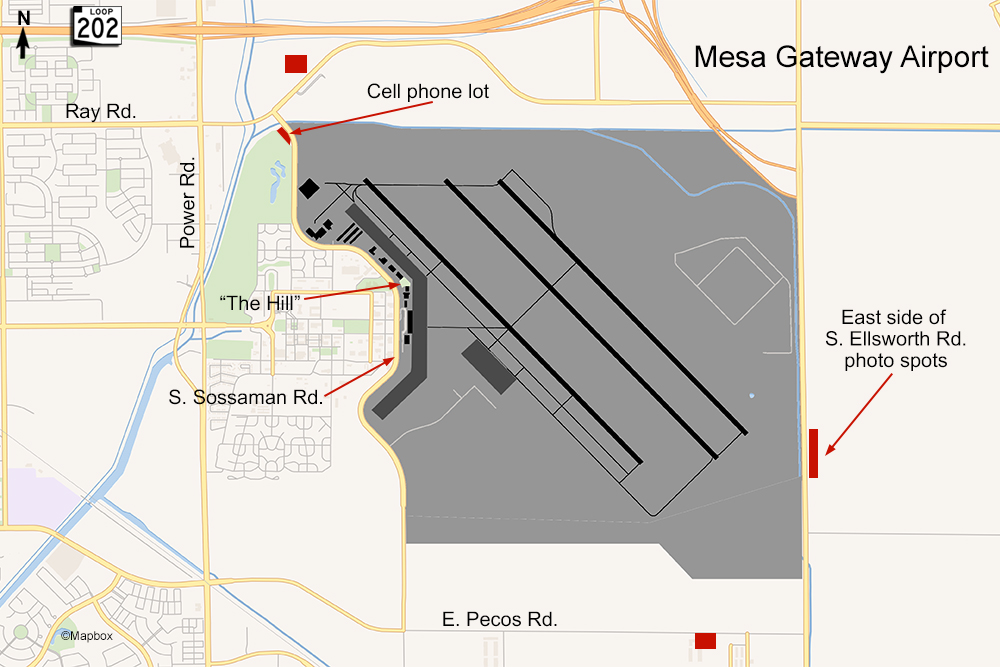
Gateway Airport has also seen some unusual traffic such as NASA’s Super Guppy on a refueling stop and the Rolls Royce 747 engine testbed. Gateway is also a staging area for aerial firefighting during wildfire season and when there is an active fire you’ll see DC-10, 737, and RJ185 tankers coming and going. There are a few decent spots around the airport. The most well known spot is called “The Hill” and is a plane viewing park located next door to the airport administration building on Sossaman Rd. This spot has benches to sit, a gazebo for some shade from the sun, and in the center is a grassy hill that allows for a view over the fence.
In my experience at this airport most of the heavy aircraft traffic uses the east runway (12L/30R) while the Allegiant A320s, business jets, and trainers use the right side mostly. Other areas where you can get good photos include the cell phone lot near the corner of Sossaman and Ray Rd which is good for afternoon photography of runway 12R landings. Here is an example (click the thumbnails for a larger image):
From the parking lot of some of the businesses on the north side of Ray Rd (the red box in the map above) you’ll be in a good position to capture a runway 12L approach. If traffic is landing on the 30s, continue down Sossaman Rd. to Pecos Rd and make a left. Before the next light at Ellsworth Rd. there are some warehouses on the right side where you can park for a view of runway 30L approaches. Here’s an example:
The best spot to capture a 747 landing on runway 30R is along Ellsworth Rd. north of Pecos. The east side of this road is just dirt and you can easily and safely pull off the road. Being a two lane road, Ellsworth does get a lot of traffic from the growth of this area over the past few years. Due to traffic it can take a while to get from The Hill to this spot. Here’s an example of a runway 30R approach from Ellsworth Rd.:
